Light Detection and Ranging (LiDAR) can determine how far objects are away from each other by shining a laser onto a target and analyzing the light that bounces back. LiDAR is used to create incredibly detailed maps in addition to assisting researchers in the fields of geography, archeology, geology, seismology, atmospheric sciences, laser studies, and much more.
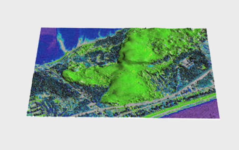
LiDAR data processing is most effective in the field of geographical system and of remote sensing for creating Digital Elevation Model, Digital Terrain Model and many other surface models. We have the complete understanding of all types of data in LiDAR system and has developed custom built utilities for easy classification of LIDAR points.
LIDAR Mapping Services
Mobile Mapping
DEM (Digital Elevation Model)
DTM (Digital Terrain Model)
DSM (Digital Surface Model)
Advance Classification
A) Raw data Geocoding. B) Calibration and strip adjustment. C) Model adjustment and ground control. D) Classification. E) Model generation. F) Ortho-image generation. G) Datum transformation and projection.
Power Line Classification
A) Airborne LiDAR has been traditionally used for power line cruising, but it is not directly applicable to the extraction of urban power lines.
B) Vehicle-borne LiDAR, which is an emerging mobile mapping system, can capture road surface features rapidly from high-speed vehicles.