Geospatial Services can help in the design, development, and implementation of a GIS System for your company regardless of size. Our Geospatial Services includes high quality GIS data for our partners that too within their budget. This is most important for successful completion of our projects.
GIS data constitutes geological data, data from maps, topographical information, and information derived from satellite images and other aerial platforms. The crucial elements and dependability of Geospatial data centers in the accuracy of the GIS data made available.
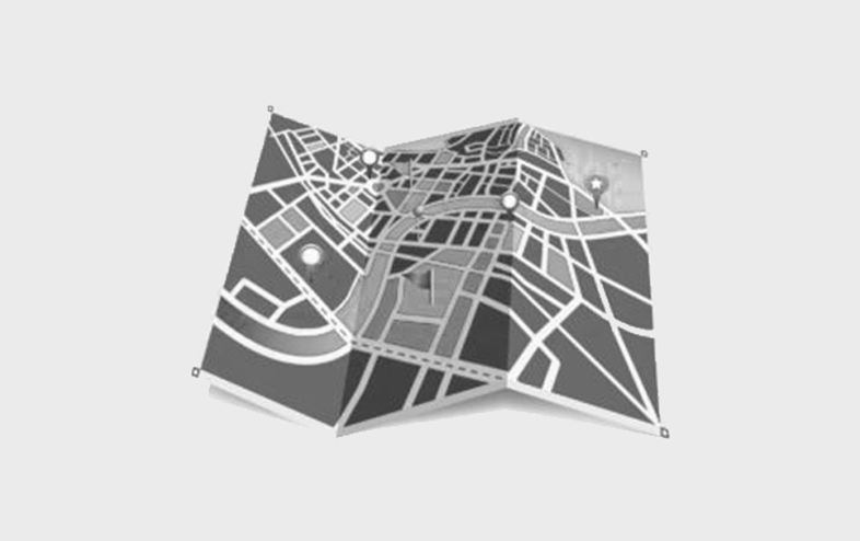
GEOSPATIAL Services
Utility Mapping
Utility Mapping is a special class of GIS applications for managing information about public utilities such as water pipes, sewerage, telephone, electricity, and gas networks.
Transmission Line Routing
Transmission line routing includes the identification of constraints, GIS data acquisition, and mapping that was necessary to support the routing process.
Gas & Electrical Distribution Network Mapping
Gas and Electrical Distribution network mapping includes overhead lines and substations and deliver utilisation, safety and reliability benefits. We provide macro routing and detailed engineering work for new lines, to deliver a route and design that best considers the trade-off between cost, performance and socio-environmental factors.
Land Use & Planning
While constantly endeavoring to make land development projects most beneficial for our clients, we approach the land use planning process with respect for the natural and built environments, and appreciation for the host community’s land use goals and objectives.
Parcel Mapping
Parcel Mapping services are the basis for creating land parcels. These maps are made from base maps that are the cadastral maps which demonstrate each individual plot in different sub divisions and comprises of polygons which illustrate the details of the properties possessed and other related information.
Terrain Mapping
Terrain mapping is a classification system that describes the characteristics and spatial distribution of surficial materials, landforms and geomorphological processes.
Urban Planning & Mapping
Urban planning and mapping involves understanding relationships between built infrastructure (roads, homes, drainage systems etc.) and the natural environment including streams, rivers, floodplains, wetlands, estuaries and hillslopes, including those with erosion potential.
Location Based Services (LBS)
Location-based services (LBS) are being used for applications ranging from finding friends and family to tracking packages for enterprises to mobile advertising.
Forestry Mapping
We render Forestry Mapping services under our strict direction of our deft professionals using latest machinery and advanced techniques. While executing the offered services, every minute detail is taken into consideration by our skilled professionals so as to evade any inconvenient.
Fire and Emergency Mapping
Fire and Emergency Mapping includes design and layout for plans, exit routes and more with complete emergency planning and escape route map and diagram software.
Transportation Mapping
Transportation Mapping includes detailed maps providing a great starting point for your design & monitoring projects related to transport.
Waste Water Resource
Waste Water Resource is the activity of planning, developing, distributing and managing the optimum use of water resources.
Municipal GIS
Establishing a GIS can offer a wide range of tools to support a municipality or utility organization in efficiently and effectively managing their utility networks and assets.
Natural Resources Management
Comprehensive natural resources management includes planning and support services, such as surveying, assessing, and managing species of concern and their habitats.
Contours and Topographic Mapping
Topographic maps provide a detailed represention of the natural and man-made features of the earth’s surface. The main characteristic of such maps is the representation of the three-dimensional terrain or relief of the surface of the earth by the use of contour lines. Topographic maps are a form of contour maps and the terms are used interchangeably.
Enterprise GIS
An Enterprise GIS is a geographic information system that is integrated through an entire organization so that a large number of users can manage, share, and use spatial data and related information to address a variety of needs, including data creation, modification, visualization, analysis, and dissemination